Biodiversity & Environment
Mass Fish Death in Kameng River
- 06 Nov 2021
- 4 min read
Why in News
Recently, the landslides caused by an earthquake of 3.4 magnitude close to the border with China has led to mass fish death in the Kameng river in Arunachal Pradesh.
- The region has been placed into Seismic Zone V, thus most vulnerable to earthquakes.
Key Points
- About:
- The earthquake happened in the vicinity of the source of the river at an elevation of about 6,300 metres above Mean Sea Level.
- The landslides dumped several tonnes of mud and rocks into the river, substantially reducing the flow of water.
- The river turned blackish due to very high turbidity resulting in low dissolved oxygen that killed the fish.
- Low dissolved oxygen concentrations can arise through natural phenomena that include seasonality, changes in river flow, and both saline and thermal stratification of the water column.
- Low dissolved oxygen levels can also indicate an excessive demand on the oxygen in the system.
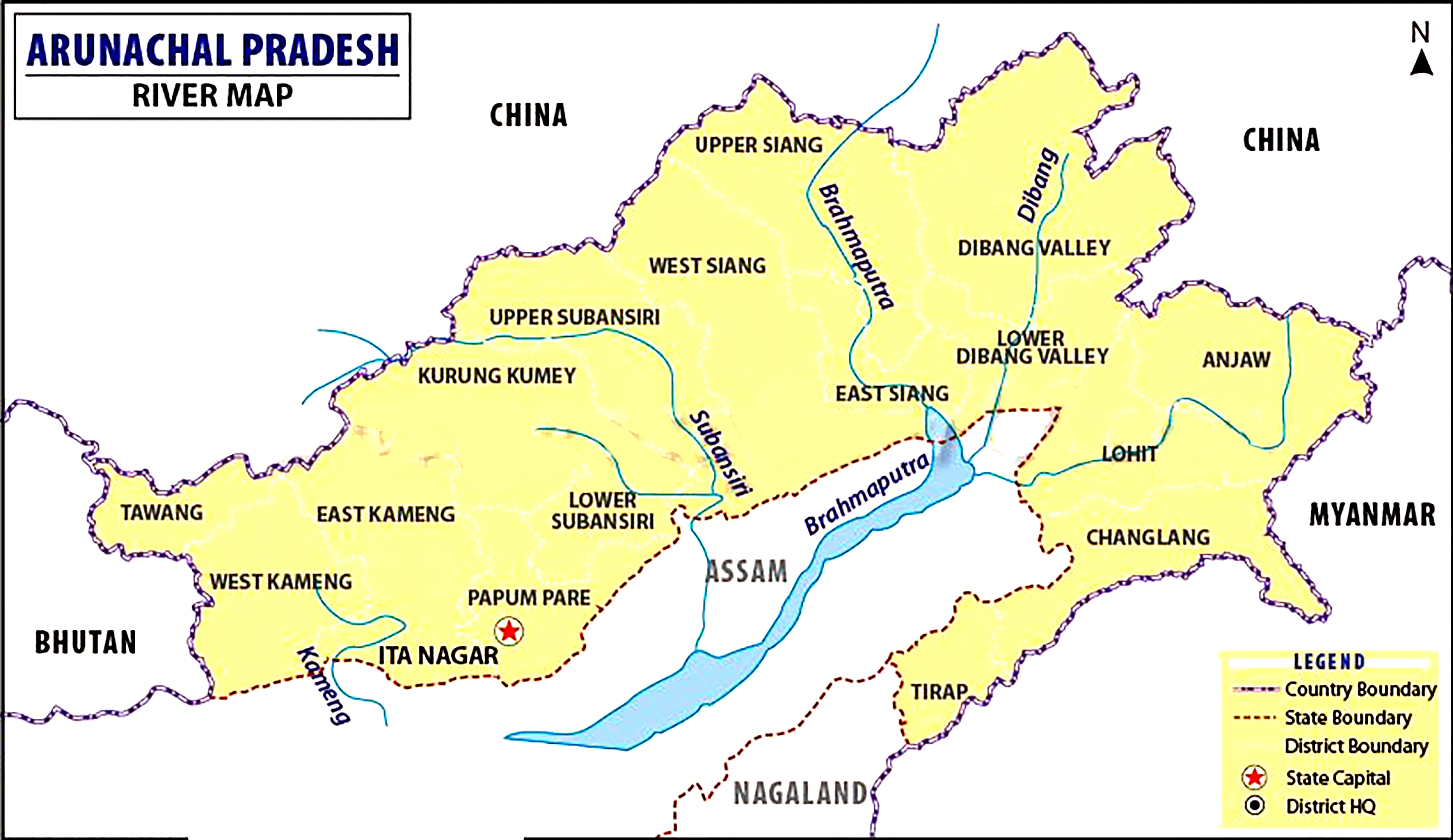
- Kameng River:
- It originates in Tawang district from the glacial lake below snow-capped Gori Chen mountain on the India-Tibet border.
- Kameng is not a transboundary river.
- It flows through Bhalukpong circle of West Kameng District, Arunachal Pradesh and Sonitpur District of Assam.
- It becomes a braided river in its lower reaches and is one of the major tributaries of the Brahmaputra River.
- It joins Brahmaputra river at Tezpur, just east of the Kolia Bhomora Setu bridge, Assam.
- It forms the boundary between East Kameng District and West Kameng Districts.
- It also forms the boundary between the Sessa and Eaglenest sanctuaries to its west (Arunachal Pradesh) and the Pakke tiger reserve to the east (Arunachal Pradesh).
- The Dafla Hills are east and the Aka Hills are located west of the Kameng River.
- Tributaries: Tippi, Tenga, Bichom and Dirang Chu.
- Historical Significance:
- During the medieval period i.e. between 13th to early 16th century, it marked the borders between the Chutiya kingdom and the Kamata kingdom.
- Later, in the 16th century, after the annexation of the Chutiya kingdom by the Ahoms and the downfall of Kamata kingdom, it acted as the border between the Ahom kingdom and Baro-Bhuyan rule.
- The Chutiya Kingdom (also Sadiya) was a late medieval state that developed around Sadiya in present Assam and adjoining areas in Arunachal Pradesh.
- The Kamata Kingdom emerged in western Kamarupa probably when Sandhya, a ruler of Kamarupanagara, moved his capital west to Kamatapur sometime after 1257 CE.
- Kamarupa is an ancient state corresponding roughly to what is now the state of Assam.
- Sukapha was a 13th-century ruler who founded the Ahom kingdom that ruled Assam for six centuries.
- The Baro-Bhuyans refers to the confederacies of soldier-landowners in Assam and Bengal in late middle age and early modern period.
- It originates in Tawang district from the glacial lake below snow-capped Gori Chen mountain on the India-Tibet border.


