Important Facts For Prelims
India’s Expanding Drone Ecosystem
- 19 Feb 2026
- 5 min read
Why in News?
Recent government data highlights the rapid expansion of India’s regulated drone ecosystem, transforming governance, agriculture, infrastructure monitoring, and national security.
What is India’s Drone Regulatory and Promotion Framework?
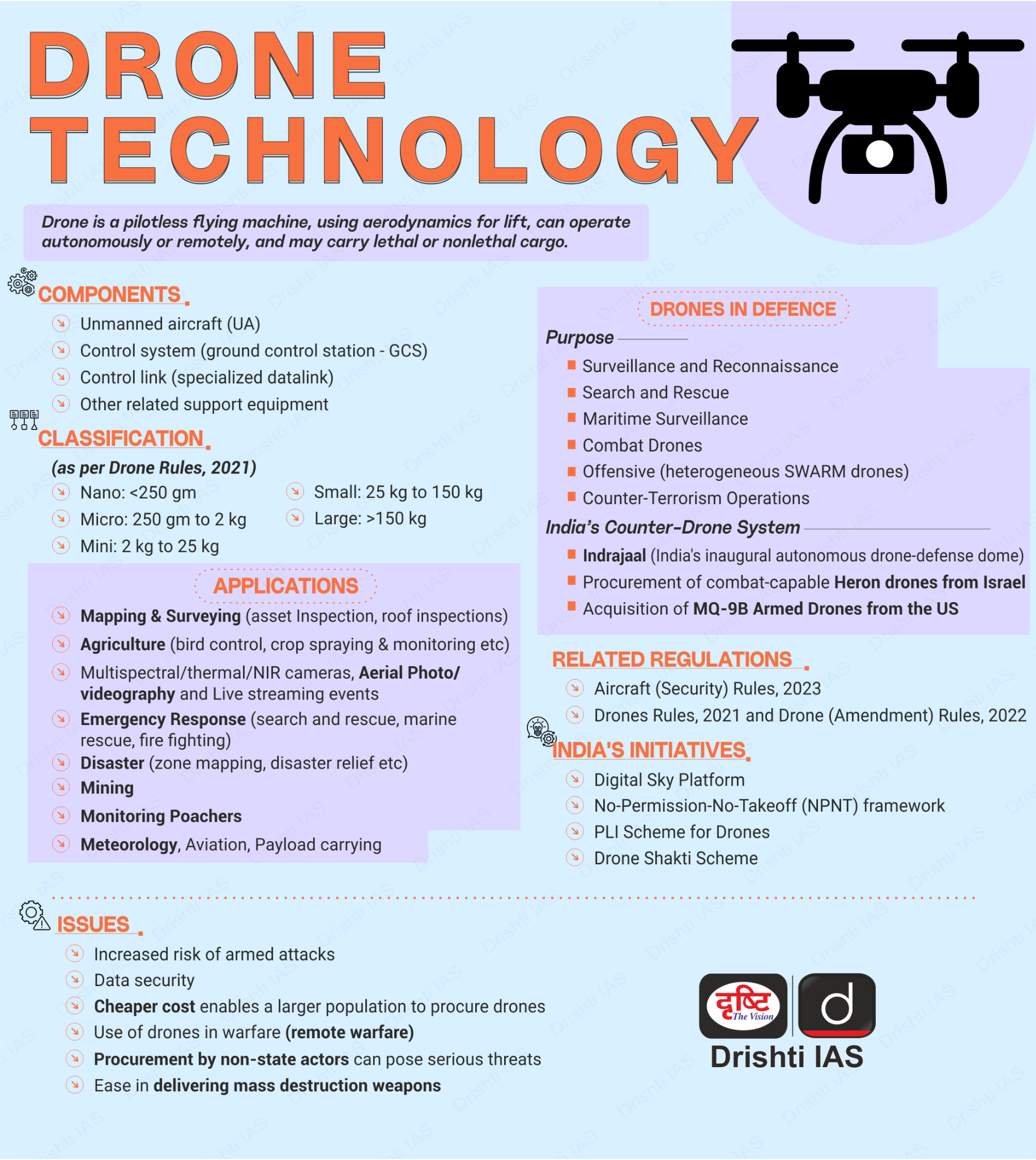
- Regulatory Framework: The Drone Rules, 2021, along with amendments in 2022 and 2023, have significantly liberalised India’s drone ecosystem by simplifying procedures and expanding operational scope.
- Reforms reduced approvals and forms, rationalised fees, expanded green airspace access, permitted wider civilian use, and replaced traditional pilot licences with Directorate General of Civil Aviation (DGCA)-issued Remote Pilot Certificates.
- Digital Governance Platforms: Digital Sky platform and e-Governance for Civil Aviation (eGCA) enable drone registration, pilot certification, type certification and airspace permissions through a single-window system.
- By February 2026, over 38,500 drones were registered and nearly 39,900 remote pilot certificates issued, enabling regulated drone operations nationwide.
- Manufacturing Support: Production Linked Incentive (PLI) scheme with ₹120 crore outlay promotes domestic drone and component manufacturing and supports start-ups and MSMEs.
- Tax Incentive: GST on drones reduced to 5%, lowering costs and encouraging commercial adoption and training infrastructure.
- Capacity Building: SwaYaan Programme focuses on human resource development in unmanned aircraft systems through training and partnerships, while the National Innovation Challenge for Drone Application and Research (NIDAR) encourages autonomous drone innovation and start-up incubation.
What are the Key Applications of Drones?
- Agriculture and Farmer Services: The Namo Drone Didi Scheme, launched in November 2023, aims to provide drones to Women Self Help Groups (SHGs) to promote modern farming practices, improve farm efficiency and crop productivity, reduce input costs, and create sustainable livelihood opportunities for women.
- Land Mapping (SVAMITVA Scheme): Under the SVAMITVA scheme, drone surveys map rural abadi areas to issue legal property cards, reducing land disputes and improving access to bank credit, mapping completed in about 3.28 lakh villages, with 2.76 crore property cards prepared.
- Highway Monitoring (NHAI Projects): Monthly drone recordings track construction progress, enable comparison of project stages and serve as digital evidence in dispute resolution and quality verification.
- Disaster Management: Drones are enhancing India’s response during natural disasters, with the North East Centre for Technology Application and Reach (NECTAR) developing a special drone system that can remain stable in the air for long durations, carry heavy equipment, monitor flood- and landslide-affected areas, and transmit live aerial visuals to help rescue teams assess situations quickly and carry out faster, better-coordinated search and rescue operations.
- Railway Monitoring: Railways deploy drones to inspect tracks, bridges and yards, while the Railway Protection Force uses them for surveillance, crowd monitoring and preventing trespassing.
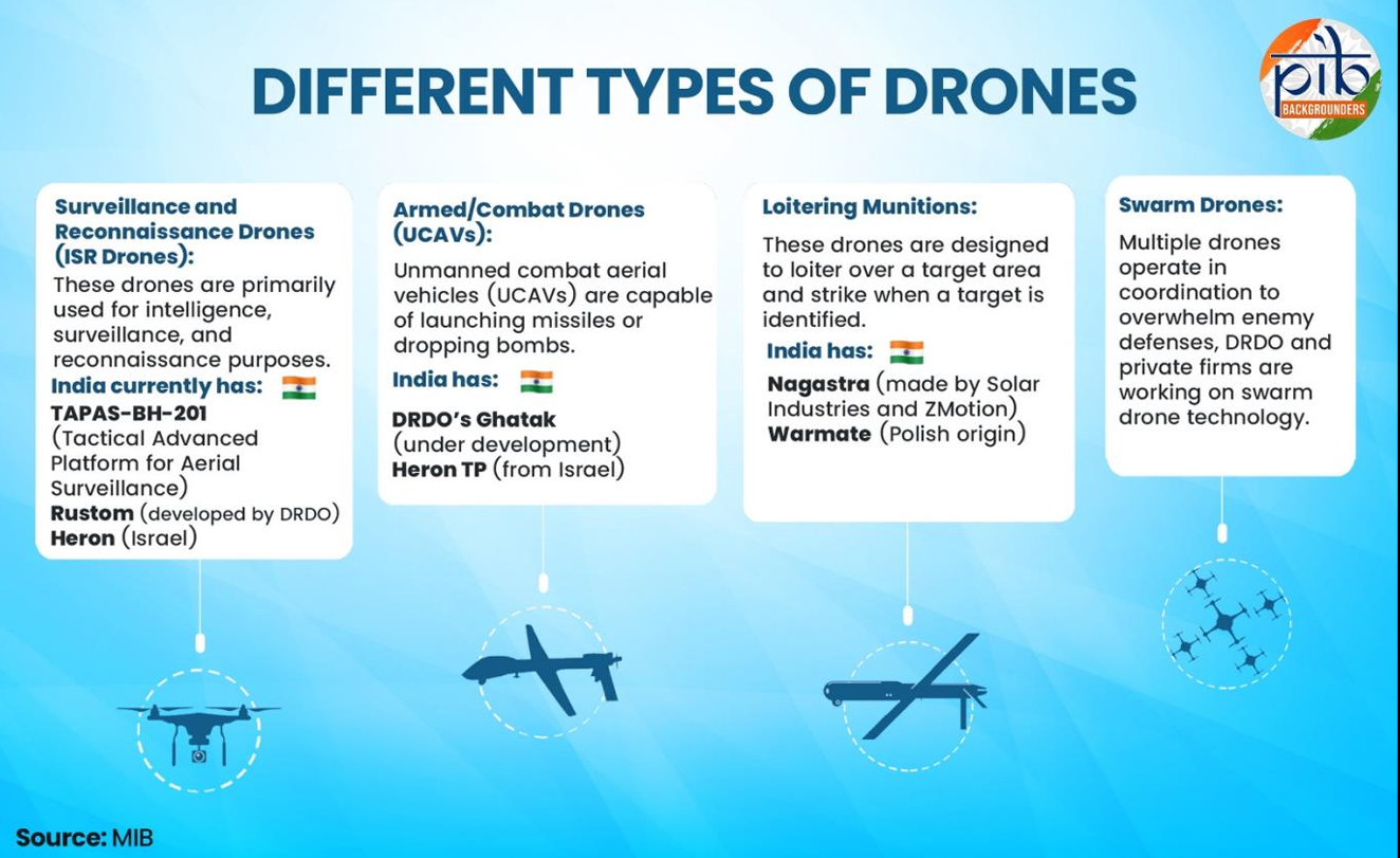
- Defence Applications: Drones support border surveillance, intelligence gathering, and precision strikes, as seen in Operation SINDOOR, while working with air defence systems and radar networks to protect critical infrastructure and respond swiftly to threats.
Frequently Asked Questions (FAQs)
1. What is the SVAMITVA scheme?
A drone-based rural mapping programme for property documentation and land dispute resolution.
2. What is Digital Sky?
An online platform for drone registration, certification and airspace permissions in India.
3. What is Namo Drone Didi?
A scheme providing drones to women self-help groups to support precision agriculture and rural livelihoods.
UPSC Civil Services Examination Previous Year Question (PYQ)
Prelims
Q. Consider the following activities: (2020)
- Spraying pesticides on a crop field
- Inspecting the craters of active volcanoes
- Collecting breath samples from spouting whales for DNA analysis
At the present level of technology, which of the above activities can be successfully carried out by using drones?
(a) 1 and 2 only
(b) 2 and 3 only
(c) 1 and 3 only
(d) 1, 2 and 3


