Uttarakhand
Sirkari Bhyol Rupasiya Bagad Hydroelectric Project
- 28 May 2025
- 4 min read
Why in News?
The Sirkari Bhyol Rupasiya Bagad Hydroelectric Project in Uttarakhand has received in-principle approval (preliminary or conditional agreement ) from the Forest Advisory Committee (FAC) under the Ministry of Environment, Forest and Climate Change (MoEFCC).
Key Points
Sirkari Bhyol Rupasiya Bagad Hydroelectric Project
- Project Overview:
- The project is located on the Gori Ganga River in the Pithoragarh district of Uttarakhand.
- It is planned to have an installed capacity of 120 megawatts (MW).
- The FAC has approved the diversion of 29.997 hectares of forest land required for the project’s implementation.
- Infrastructure Design & Impact:
- The project includes approximately 1 km of tunnel construction.
- The majority of the project infrastructure will be built underground, which helps in reducing the environmental footprint.
- There will be no displacement of local populations due to the project.
- The site does not fall within any national park, wildlife sanctuary, or eco-sensitive zone, ensuring minimal ecological disruption.
- Energy Potential of the Project:
- The project is expected to generate around 529 million units of clean, renewable energy annually.
- This generation will help meet local energy demands and contribute significantly to Uttarakhand’s energy independence.
- Socio-Economic Impact:
- The project will create both temporary jobs during the construction phase and permanent employment opportunities once operational.
- It will also lead to the improvement of local infrastructure, including roads and public facilities.
- These developments are expected to reduce migration from the region by enhancing economic opportunities for local residents.
Forest Advisory Committee (FAC)?
- It is a statutory body which was constituted by the Forest (Conservation) Act 1980.
- The FAC evaluates industrial projects which require forest land for their activities.
- The committee may or may not approve a project and can give approval for forest land to be diverted, after imposing certain conditions.
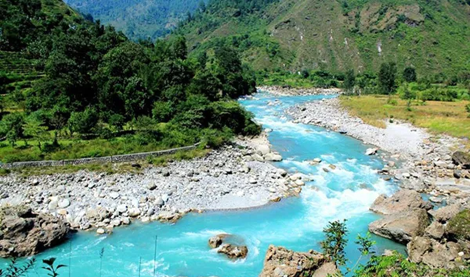
Gori Ganga River
- The Gori Ganga River, also known as Ghori Ganga or Gori Gad, flows through the Munsiyari tehsil of Pithoragarh district in Uttarakhand.
- It originates from the Milam Glacier, located northeast of Nanda Devi, and travels a course of approximately 104 kilometers before merging with the Kali River at Jauljibi.
- A significant tributary, the Gonga stream, joins the Gori Ganga near the Milam village, just 1 km below the glacier snout.
- Geographical Significance:
- The river valley acts as a drainage basin for numerous glaciers and streams that descend from the eastern slopes of the Nanda Devi Sanctuary, and from the Panchachuli, Rajramba, and Chaudhara mountain ranges.
- Other notable contributors include the Ralam Gad, Pyunsani Gadera, and the Kalabaland–Burfu Kalganga glacier system, which feed into the Gori Ganga from the east.
- Tourism Potential:
- The Gori Ganga Valley is also known for its scenic trekking routes leading to iconic Himalayan peaks such as Nanda Devi East, Hardeol, Trishuli, Panchachuli, and Nanda Kot.
- The valley holds both ecological value and adventure tourism potential, making it an area of multifaceted importance.