Earthquake Concentrations in Dharchula Region | 10 Nov 2020
Why in News
Recently, scientists at Wadia Institute of Himalayan Geology (WIHG) have unearthed large concentrations of micro and moderate magnitude earthquakes in the Dharchula region and adjoining areas of Kumaon Himalaya.
- WIHG is an autonomous institute under the Department of Science and Technology (DST), Government of India.
Key Points
- Location:
- The major concentration is in an area around 45 km from the new Kailash Mansarovar road, connecting Dharchula in Uttarakhand to Lipu Lekh on the China border.
- The region is known as the Central Seismic Gap (CSG) region, despite the Himalayas being one of the most tectonically and seismically active regions in the country.
- A gap is a term used to denote an area with little tectonic activity.
- Methodology:
- Scientists started investigating and mapping the region precisely to find out the reason behind the occurrence of crowded (closely located and frequently felt) earthquakes.
- They established a seismological network of 15 broadband seismological stations along the Kali River valley to investigate the subsurface configuration in the Kumaon Himalaya region with support from the Ministry of Earth Sciences.
- Findings:
- These large concentrations of earthquakes are “release of stress’’ building up in the region and the geological structure behind it.
- The Dharchula region falls between two knee-like structures, which traps the stress in this region.
- This is the reason why there have been crowded earthquakes here within a span of years and numerous smaller earthquakes have occurred here and the stress keeps building up.
- For the stress to be finally released, there is a likelihood of a high magnitude earthquake in the region. However it is not possible to predict the scale or the exact time that an earthquake will occur.
Earthquake
- An earthquake in simple words is the shaking of the earth. It is a natural event which is caused due to release of energy, which generates seismic waves that travel in all directions.
- The location below the earth’s surface where the earthquake starts is called the hypocenter, and the location directly above it on the surface of the earth is called the epicenter.
- Types of Earthquakes:
- Based on reasons behind their origins:
- Fault Zones Earthquake.
- Tectonic Earthquake.
- Volcanic Earthquake.
- Human Induced Earthquakes.
- Based on the depth of focus:
- Shallow Earthquakes (0-70 km deep)
- Intermediate Earthquakes (70-300 deep)
- Deep Earthquakes (300-700 km deep).
- Based on reasons behind their origins:
- Measurement of Earthquakes:
- Seismometers detects seismic waves below the instrument and records them as a series of zig-zags.
- Scientists can determine the time, location and intensity of an earthquake from the information recorded by a seismometer. This record also provides information about the rocks the seismic waves traveled through.
- The earthquake events are scaled either according to the magnitude or intensity of the shock.
- The magnitude scale is known as the Richter scale. The magnitude relates to the energy released during the quake. The magnitude is expressed in absolute numbers, 0-10.
- The intensity scale is named after Mercalli, an Italian seismologist. The intensity scale takes into account the visible damage caused by the event. The range of intensity scale is from 1-12.
- Seismometers detects seismic waves below the instrument and records them as a series of zig-zags.
Earthquakes in India
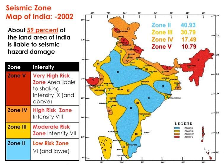
- India is one of the highly earthquake affected countries because of the presence of tectonically active young fold mountains, Himalayas.
- India has been divided into four seismic zones (II, III, IV, and V) based on scientific inputs relating to seismicity, earthquakes occurred in the past and tectonic setup of the region.