Strengthening Disaster Resilience in the Indian Himalayan Region | 12 Aug 2025
For Prelims: Flash flood, Indian Himalayan Region (IHR), Landslides, Avalanches, Glacial Lake Outburst Floods, Orographic lift
For Mains: Disaster Management in Himalayan Region, Climate Change (impacts on glaciers, extreme events, adaptation)
Why in News?
The flash flood that struck Dharali village in Uttarkashi, Uttarakhand, is a stark reminder of the increasing threat of disasters caused by extreme weather events in the Indian Himalayan Region (IHR).
What are the Factors Driving for Frequent Disasters in the Indian Himalayan Region (IHR)?
- Tectonic Activity and Earthquake Risk: The Himalayas are still rising because the Indian plate is colliding with the Eurasian plate. This ongoing tectonic movement makes the region one of the most seismically active zones in the world.
- Major fault lines like the Dhaulagiri and Indus-Ganga faults, located in India’s Seismic Zone IV and V, absorb stress from plate collisions, and sudden release of this stress triggers earthquakes.
- High earthquake potential often triggers landslides, avalanches, and even flash floods by destabilising slopes and blocking rivers.
- Example: 2005 Kashmir Earthquake (Magnitude 7.6) caused massive destruction in Jammu & Kashmir.
- Fragile Geology: The Himalayas are geologically young mountains made of sedimentary rocks, which are loose and easily eroded.
- Steep slopes mean gravity naturally pulls down loose soil and rock, leading to frequent landslides, especially after rain or seismic tremors.
- Glacial and Snow-Related Hazards: The region contains thousands of glaciers and high-altitude snowfields. Climate change is accelerating their melt, leading to the rapid expansion of Himalayan Glacial Lakes.
- In the Hindu Kush Himalayas, glaciers are melting at unprecedented rates and could lose up to 75% of their volume by 2100.
- When these lakes burst (form Glacial Lake Outburst Floods (GLOFs), they cause sudden, destructive flooding downstream.
- For instance, in 2023 a GLOF from South Lhonak Lake destroyed the Teesta III Dam at Chungthang, Sikkim.
- Extreme Rainfall Events and Cloudbursts: The IHR often receives intense, short bursts of rainfall due to orographic lift (moist air rising over mountains).
- Cloudbursts can release more than 100 mm of rain in an hour over a small area, causing flash floods and landslides.
- In July 2021, cloudbursts in Chamoli, Uttarkashi, and Pithoragarh triggered flash floods and landslides, causing severe loss of life and infrastructure.
- River Dynamics and Flash Floods: Himalayan rivers are young, fast-flowing, and carry heavy sediment loads.
- Landslides or glacial melt can block rivers temporarily, creating natural dams. When these break, sudden flash floods occur.
- Additionally, China’s proposed dam on the Brahmaputra could alter river dynamics and create a potential “water bomb” risk for India.
- Deforestation and Land Use Changes: Clearing forests for roads, hydropower projects, tourism facilities, and agriculture removes tree roots that naturally stabilise slopes, making them more prone to erosion, landslides, and excessive water runoff during heavy rains.
- In Joshimath (2023), land subsidence was linked to unregulated construction and hydropower tunnelling in fragile hill slopes.
- Projects like Char Dham caused deforestation and soil loss, especially in sensitive areas like the Bhagirathi Eco Sensitive Zone, increasing disaster vulnerability and harming glaciers.
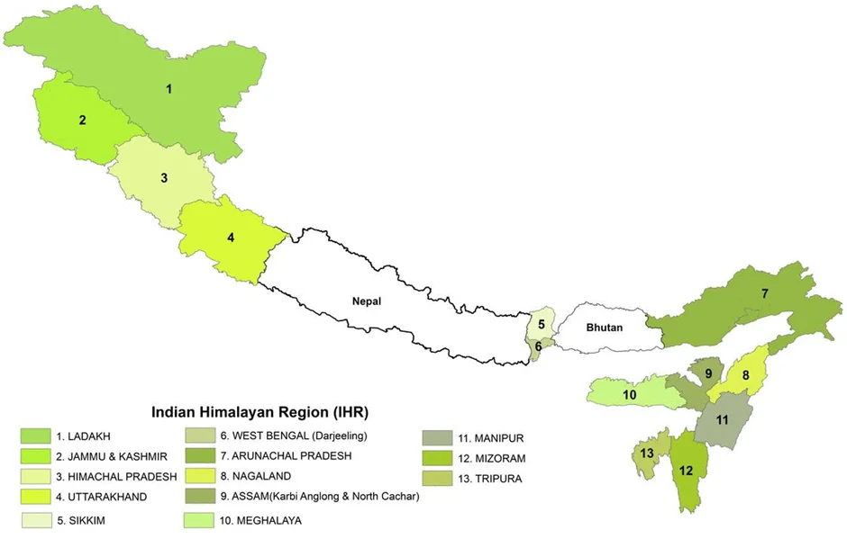
| Click here to Read: Indian Himalayan Region |
What are the Key Committees and their Recommendations on Disaster Management in India?
- Mishra Committee (1976): It was set up to investigate the sinking of Joshimath, It recommended halting new construction in slip zones until site stability is confirmed through thorough investigation.
- It advised against cutting trees or removing boulders in landslide-prone areas for construction or road repair.
- J.C. Pant Committee (1999): It classified 31 types of disasters into five categories: water and climate-related, geological, chemical/industrial/nuclear, accident-related, and biological.
- It recommended that disaster management be included in the Constitution’s Schedule 7 and called for the enactment of national and state-level disaster laws, along with stricter enforcement of existing regulations such as building codes and safety standards.
- To ensure strong governance, the committee proposed the creation of a Cabinet Committee on Disaster Management, the institutionalization of a National Council under the Prime Minister.
- It also advocated for a dedicated Ministry of Disaster Management to coordinate efforts across various departments.
- For capacity building, the committee recommended establishing the National Centre for Calamity Management and the National Institute for Disaster Management.
- On financing, it called for reconstituting the Calamity Relief Fund, creating two new national funds for disaster response and prevention, and earmarking at least 10% of plan funds at all levels for disaster risk reduction.
- It also stressed fostering a culture of preparedness, carrying out risk assessments, training human resources, and developing standard operating procedures.
What Measures can be Adopted to Mitigate Disaster Risks in the Indian Himalayan Region?
- Develop a Comprehensive Early Warning System: Install and maintain solar-powered automated sensors and cameras at high-risk glacial lakes for real-time monitoring and timely alerts to downstream communities.
- Engineering and Geo-Technical Interventions: Structural measures like check dams, spillways, controlled drainage channels, and catchment dams must be implemented despite logistical challenges posed by high altitudes.
- These reduce the speed and volume of floodwaters during extreme weather events.
- Sustainable Tourism Management: Adopt a Green Tourism Framework with tourist caps in peak seasons, promote eco-friendly models like homestays, enforce waste and water-use norms, and direct tourism revenue to ecosystem restoration and disaster mitigation.
- Region-Specific Environmental Impact Assessment (EIA): The Himalayan ecosystem demands a customized EIA framework considering its unique geology, climate variability, and hydrology, ensuring that developmental activities do not increase disaster vulnerability.
- Revise the National Building Code for hill regions to mandate earthquake-resistant and landslide-resilient designs.
- Mainstreaming Climate and Disaster Resilience in Development: Developmental projects in the IHR must integrate disaster risk reduction as per the Sendai Framework and climate adaptation to prevent increasing hazard exposure, especially in infrastructure and urban planning.
- Integrated Watershed and River Basin Management: Adopt ridge-to-valley watershed restoration with afforestation, wetland revival, and stream bank stabilisation, restore traditional water systems.
- enforce floodplain construction limits, and establish basin-level governance for upstream–downstream disaster links.
- Community Awareness and Preparedness: Educate and engage downstream populations on cascading hazards like landslides, flash floods, and glacier melt, empower Panchayats for local preparedness, and promote participatory hazard mapping with community-owned shelters.
- Integrated Multi-agency Coordination: Encourage collaboration between National Disaster Management Authority (NDMA), National Remote Sensing Centre (NRSC), Central Water Commission, State governments, and scientific institutions for risk assessment, monitoring, and mitigation.
Conclusion
Balancing development with ecological safeguards is essential for Himalayan stability. Strengthening land-use regulations, climate-resilient infrastructure, and community preparedness supported by initiatives like the National Mission on Himalayan Studies (NMHS) can reduce disaster risks while advancing goals for safe and sustainable settlements.
|
Drishti Mains Question: Discuss the reasons for disasters in the Indian Himalayan Region and evaluate the challenges in managing these disasters effectively. |
UPSC Civil Services Examination, Previous Year Questions (PYQs)
Prelims
Q. When you travel in Himalayas, you will see the following: (2012)
- Deep gorges
- U-turn river courses
- Parallel mountain ranges
- Steep gradients causing land sliding
Which of the above can be said to be the evidence for Himalayas being young fold mountains?
(a) 1 and 2 only
(b) 1, 2 and 4 only
(c) 3 and 4 only
(d) 1, 2, 3 and 4
Ans: (d)
Mains
Q. Bring out the causes for more frequent landslides in the Himalayas than in Western Ghats. (2013)
Q. Describe the various causes and the effects of landslides. Mention the important components of the National Landslide Risk Management Strategy. (2021)
Q. Vulnerability is an essential element for defining disaster impacts and its threat to people. How and in what ways can vulnerability to disasters be characterized? Discuss different types of vulnerability with reference to disasters. (2019)